World Heritage
Levadas of Madeira Island (UNESCO Tentative List)
The Levadas of Madeira, the island's centuries-old network of irrigation channels, have been part of Portugal's UNESCO World Heritage Tentative List since 2017.
- Location
- Funchal, Madeira
- Built
- século XV–XX
- UNESCO
- World Heritage
The Levadas of Madeira are a centuries-old network of irrigation channels running across the entire island, carrying water from the humid slopes of the north and the mountainous interior to the agricultural hillsides of the south and the coast. The term derives from the verb levar — to carry water — and refers to these small open aqueducts which, over more than five centuries, have shaped at once the landscape, the economy and the identity of Madeira. Since 31 January 2017, the ensemble has been part of Portugal’s UNESCO World Heritage Tentative List, under reference number 6230, as a candidate for a future cultural inscription.
A feat of hydraulic engineering five centuries old
The construction of the first levadas dates back to the fifteenth century, a few years after the start of settlement, when it became necessary to irrigate the sugar-cane plantations that then sustained the island’s economy. The steep terrain and the uneven distribution of rainfall — abundant in the north, scarce in the south — required water to be carried by gravity over dozens of kilometres, skirting hillsides and crossing valleys.
The network is estimated to reach around 800 km of main channels, supplemented by more than two thousand kilometres of secondary channels and some 40 km of tunnels cut by hand into the rock. Many stretches open onto terraces along the hillsides, suspended above deep ravines, in a rudimentary yet extraordinarily effective feat of engineering, sustained over generations by the levadeiros, the men responsible for opening, watching over and distributing the water.
More than infrastructure, the levadas are a living system of collective water management: their distribution is governed by centuries-old customary rules that share the flow among landowners according to strictly timed turns.
Landscape, nature and the candidacy
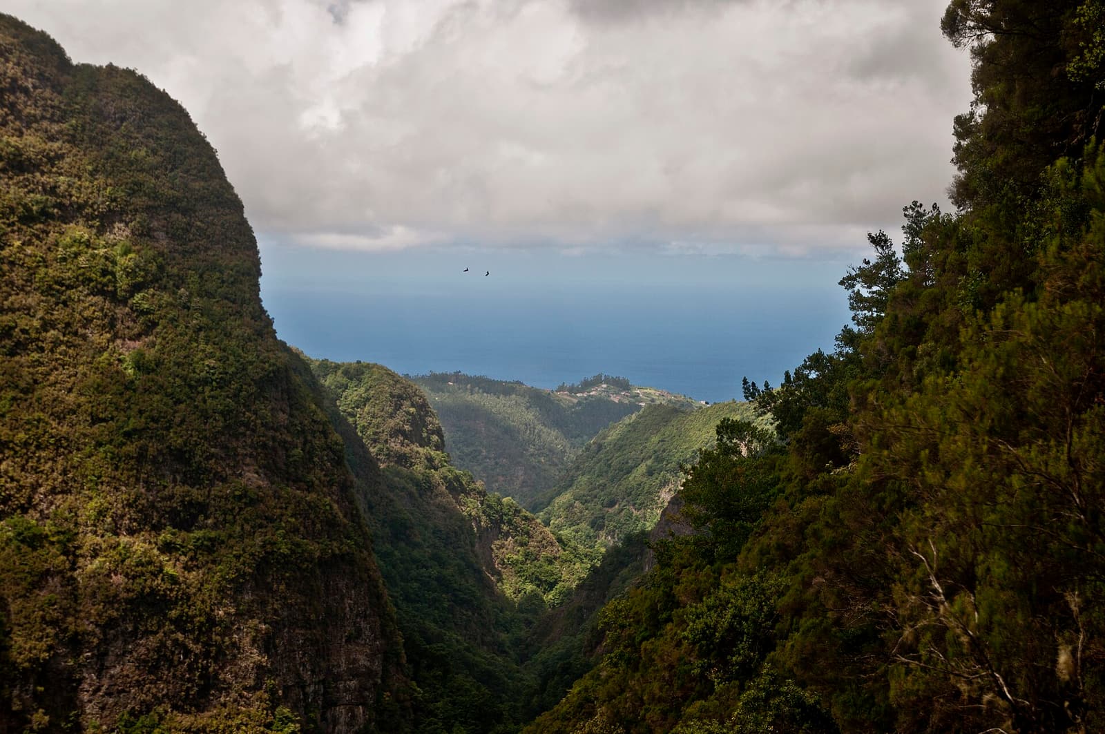
Much of the oldest levadas runs through the Laurisilva of Madeira, already classified as a Natural World Heritage Site, which gives the ensemble a rare interplay between human work and a relict ecosystem. Routes such as the Levada do Caldeirão Verde, the Levada das 25 Fontes and the Levada do Furado have become internationally renowned walking trails, followed by hikers tracing the water’s course among lime trees, laurels and waterfalls.
The candidacy underscores precisely this multifunctional value: the levadas still carry water today for human consumption, for agriculture and for hydroelectric power generation, remaining operational some five centuries after the first excavations. It is this continuity of use, combined with the scale and ingenuity of the network, that underpins their proposal for universal recognition.
Context within the archipelago
The inscription of the levadas on the Tentative List forms part of a group of Madeiran and Atlantic properties under assessment, alongside other Portuguese candidacies such as the Savage Islands. The autonomous region of Madeira thus brings together, within a single island territory, natural heritage already enshrined and cultural heritage in the process of recognition, in a singular dialogue between water, forest and the memory of human labour.
Frequently asked questions
- Are the Levadas of Madeira a UNESCO World Heritage Site?
- Not yet. They have been part of Portugal's Tentative List since 31 January 2017, meaning they are candidates for a future inscription on the World Heritage List, a mandatory stage before any definitive listing.
- How extensive is the network of levadas?
- The main channels are estimated at around 800 km, supplemented by more than 2,000 km of secondary channels and some 40 km of tunnels cut into the rock, forming one of the largest traditional hydraulic networks in the world.
- When were the first levadas built?
- The first levadas appeared in the fifteenth century, shortly after the start of the island's settlement, to irrigate the sugar-cane plantations. The network was expanded over the following centuries, with major public works as late as the twentieth century.