Monuments
Lines of Torres Vedras
Lines of Torres Vedras: 1809–1810 forts and redoubts north of Lisbon, Massena halted in 1810, National Monument since 2019 and a Historic Route to visit.
- Location
- Arruda dos Vinhos, Loures, Mafra, Sobral de Monte Agraço, Torres Vedras e Vila Franca de Xira (distrito de Lisboa)
- Built
- 1809–1812
The Lines of Torres Vedras were the system of field fortifications that the Anglo-Portuguese army built north of Lisbon during the Peninsular War. Earthen and stone forts on the hilltops, batteries, artificial escarpments and military roads concealed in the back slopes closed the routes to the capital between the Atlantic and the Tagus. In October 1810, Massena’s French army halted before them. Today they form a National Monument spread across six municipalities, which can be visited via the Historic Route of the Lines of Torres.
Fortifying the hills north of Lisbon
The Peninsular War lasted from 1807 to 1814. After the first invasion, under Junot, and the second, under Soult, a new French offensive against Lisbon was to be expected. General Arthur Wellesley, future Duke of Wellington, decided not to wait for the enemy in the open field. He chose to fortify high ground that controlled the roads leading to the capital, reinforcing the natural obstacles of the terrain.
The strategy relied on the topographical survey of the Portuguese engineer Neves Costa, which the classification decree cites as the basis of the layout. Execution was entrusted to Wellington’s chief engineer, Colonel Richard Fletcher. According to the route map published by the municipality of Vila Franca de Xira, the fortifications were built between November 1809 and September 1810. The military roads continued to be improved until 1812. The secrecy of the works was one of the factors behind their success, and the 2019 decree emphasises it.
The Historic Route of the Lines of Torres (RHLT) describes a system of three defensive lines, stretching over 85 km between the ocean and the river. According to the association, when it was completed it comprised 152 military works, around 600 artillery pieces and close to 140,000 men to defend it. These figures refer to the complete historical system, not to the classified set described below.
The works operated as a network. An optical telegraph of ten stations, using balloons, flags and the Popham code of the British navy, relayed messages from the Tagus to the Atlantic within minutes. On the front of the Lines, the population was removed and the harvests, mills and everything that could feed the invader were destroyed. The municipal map notes that this scorched-earth policy was decisive for the Allies, but caused many deaths among the Portuguese, who died of hunger and from the violence of French troops.
October 1810: Massena before the Lines
In July 1810, Marshal André Massena launched the third invasion. He was defeated at Bussaco on 27 September 1810, but continued his march on Lisbon. Wellington withdrew the Allied army behind the Lines. According to the RHLT, the French advance forces sighted them on 10 October 1810. The actions at Sobral (12), Dois Portos (13) and Seramena (14) followed, and Massena personally observed the defensive system on 14 October.
Massena did not force a general attack. Waiting for reinforcements that never arrived, he ordered a withdrawal on 15 November 1810 and began retreating from the country in March 1811. Since 2014, 20 October has been the National Day of the Lines of Torres Vedras, established by the Portuguese Parliament to honour the resistance of the population and the military engineering strategy.
Forts, redoubts and military roads
The ensemble consists of field fortification works: forts, redoubts and batteries, together with escarpments and lines of communication. The 2019 decree notes that the British engineers initially used the star-shaped plan of eighteenth-century treatises, heir to the bastioned fortresses. They soon abandoned it for a more organic layout, adapted to each summit. Each work has a serial number, and many are known by more than one name.
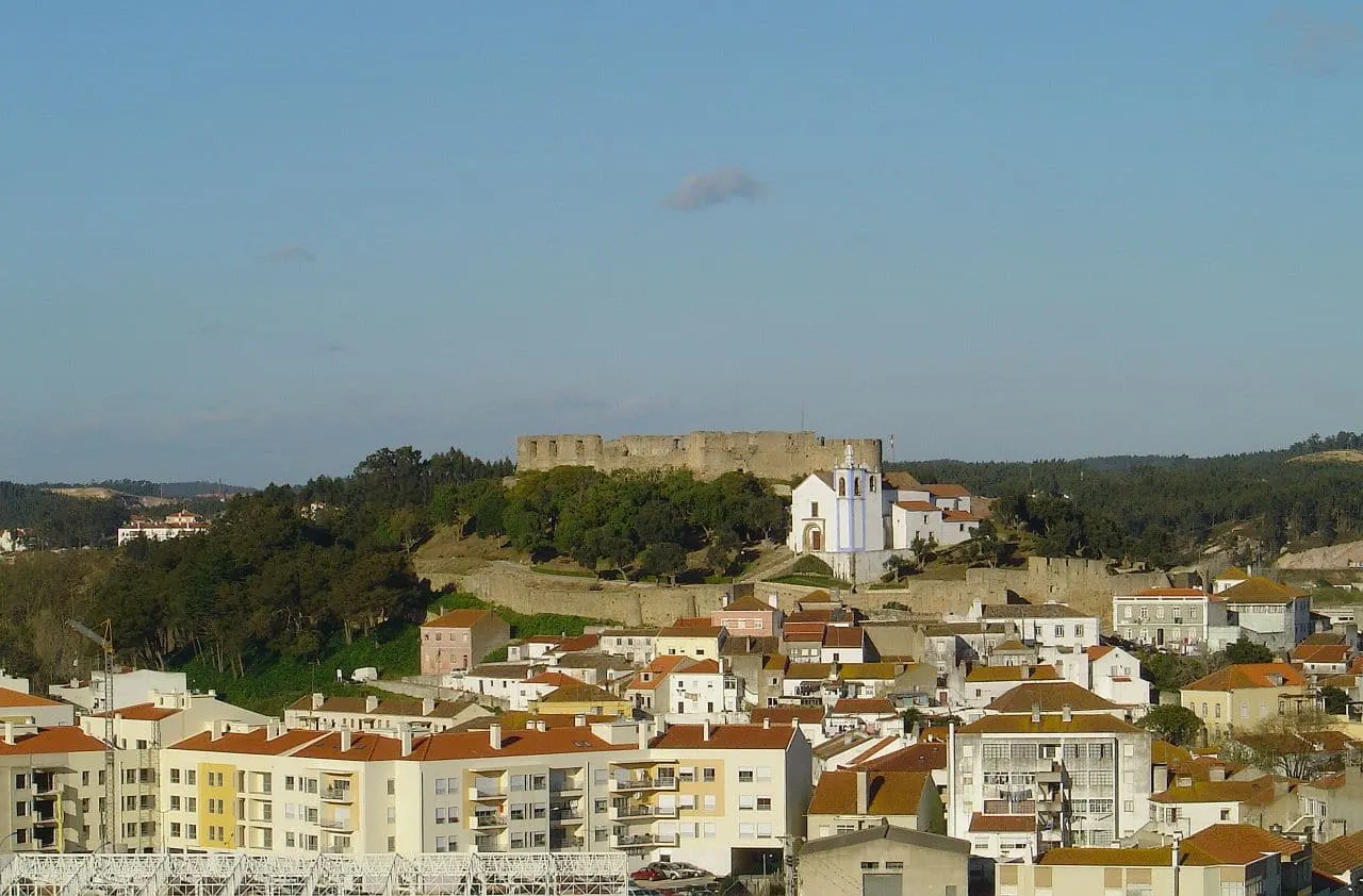
Among the largest works are the Forte de São Vicente (works no. 20, 21 and 22), above Torres Vedras, which had been a Property of Public Interest since 1967, and the Forte do Alqueidão or Forte de Monte Agraço (work no. 14), in Sobral de Monte Agraço. The RHLT describes the Grande Reduto do Alqueidão as the command post of the lines. At São Vicente, an optical telegraph communicated with the Forte do Grilo and with the station at Serra do Socorro.
Classification and distinctions
The Decree No. 10/2019, of 27 March, classified the 1st and 2nd lines of defence north of Lisbon as a set of national interest, under the designation National Monument. The set comprises 114 military works: 4 in Arruda dos Vinhos, 21 in Loures, 28 in Mafra, 7 in Sobral de Monte Agraço, 30 in Torres Vedras and 24 in Vila Franca de Xira. The decree provides for restrictions to be set by ministerial order. When consulted on 5 November 2026, the Atlas of Cultural Heritage did not indicate a special protection zone for the set.
The Lines are not a UNESCO World Heritage Site. When consulted on 5 November 2026, they also did not appear on the list of European Heritage Label sites published by the European Commission. In 2014, the RHLT received a European prize in the Conservation category, awarded by the EU and Europa Nostra. In 2012, Turismo de Portugal had already recognised the route as the best public requalification project.
The Historic Route and the visit
The non-profit association Historic Route of the Lines of Torres (RHLT) was founded by the municipalities of Arruda dos Vinhos, Loures, Mafra, Sobral de Monte Agraço, Torres Vedras and Vila Franca de Xira. It manages the route jointly, with restored forts, interpretation centres, six thematic itineraries and the long-distance walking route GR30. The itineraries are “Torres Vedras on the First Line”, “Wellington”, “The Defence of the Tagus”, “Great Defiles”, “The Knot of the Lines” and “From the Palace to the Atlantic”.
When consulted on 5 November 2026, the RHLT listed the Lines of Torres Interpretation Centre in Sobral de Monte Agraço (Praça Dr. Eugénio Dias, 12) as open Tuesday to Sunday, 10:00–13:00 and 14:00–18:00 (tel. +351 261 942 296). In Torres Vedras, the interpretation centre operates in the chapel of the Forte de São Vicente, with the same hours. It closes on Mondays and on some public holidays, and offers a joint ticket of €4 that includes two other cultural venues in the town. The forts are outdoors and generally on exposed hilltops: wear suitable footwear and bring water. Confirm opening hours, guided visits and conditions on the RHLT website before you go.
To place the Lines within the history of Portuguese military architecture, continue with military architecture and fortifications and the Military Tourism programme.
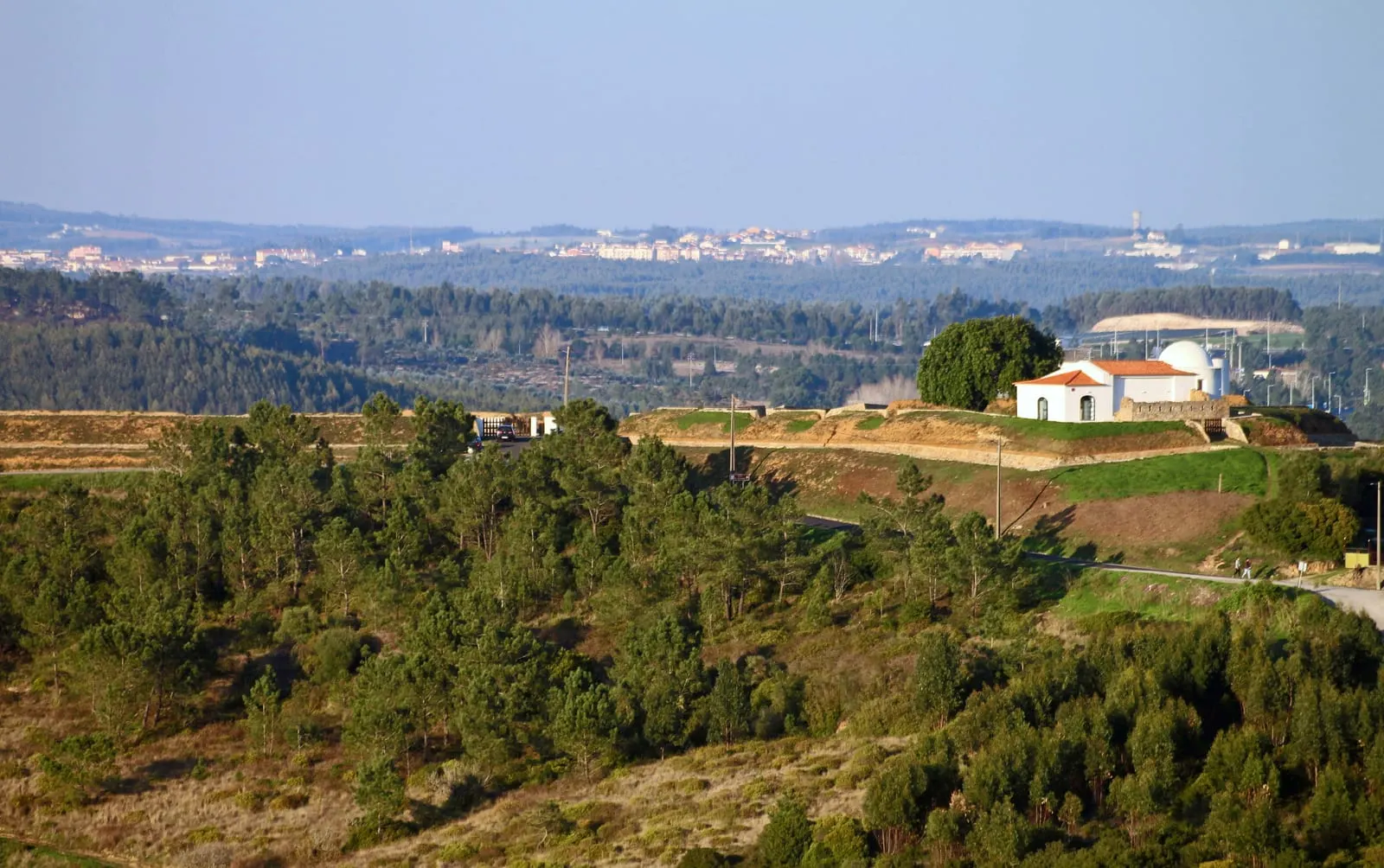
Photograph by Vitor Oliveira, dated 29 November 2020. Original on Wikimedia Commons, under CC BY-SA 2.0; resized and compressed for the web, without altering the composition.
Frequently asked questions
- What were the Lines of Torres Vedras?
- A system of field fortifications (forts, redoubts, batteries, artificial escarpments and military roads) built north of Lisbon during the Peninsular War to control the approaches to the capital. The main works were carried out between November 1809 and September 1810.
- Which part of the Lines is classified?
- Decree No. 10/2019, of 27 March, classified the 1st and 2nd lines of defence north of Lisbon as a set of national interest, under the designation National Monument. The classification covers 114 military works in six municipalities of the Lisbon district.
- Are the Lines of Torres Vedras a World Heritage Site or a European Heritage Label site?
- They are not a World Heritage Site. When consulted on 5 November 2026, they also did not appear on the official list of European Heritage Label sites. The association that manages the route received a European prize in the Conservation category in 2014, awarded by the EU and Europa Nostra, which is a different distinction.
- Where should I start my visit?
- The interpretation centres in Sobral de Monte Agraço (Praça Dr. Eugénio Dias, 12) and Torres Vedras (chapel of the Forte de São Vicente) are good starting points. The Historic Route of the Lines of Torres offers six thematic itineraries and a long-distance walking route (GR30). Check opening hours on the RHLT website before you go.
Sources
- Diário da República — Decreto n.º 10/2019, de 27 de março (classificação das Linhas de Torres Vedras)
- Património Cultural, I.P. — 1.ª e 2.ª Linhas de Defesa a Norte de Lisboa durante a Guerra Peninsular (17662366)
- Património Cultural, I.P. — Atlas do Património Classificado e em Vias de Classificação (serviço cartográfico)
- Rota Histórica das Linhas de Torres — As Linhas de Torres
- Rota Histórica das Linhas de Torres — The RHLT Association
- Rota Histórica das Linhas de Torres — Percurso Wellington
- Rota Histórica das Linhas de Torres — Centro de Interpretação na capela do Forte de São Vicente
- Rota Histórica das Linhas de Torres — MUDE 3 Experience (Forte de São Vicente)
- Município de Vila Franca de Xira — Mapa da Rota Histórica das Linhas de Torres
- Comissão Europeia — European Heritage Label sites
- Wikidata — Linhas de Torres Vedras (Q1826718)
Keep exploring
Heritage nearby
More places to discover from here. Approximate straight-line distances, within 50 km.