Monuments
Cabril Bridge
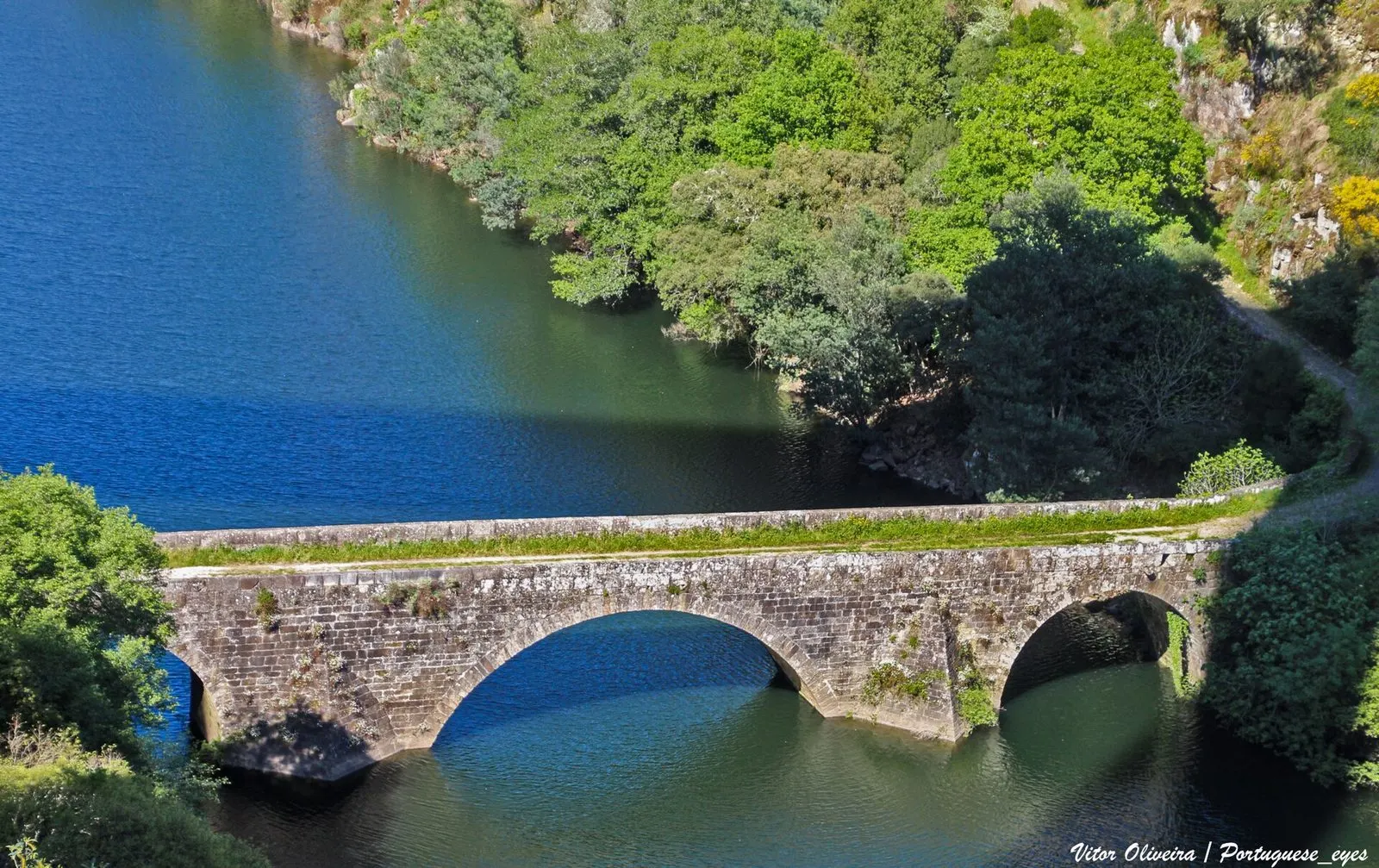
A National Monument by the Cabril dam, Ponte do Cabril (Ponte Filipina) crosses the Zêzere between Pedrógão Grande and Sertã on three granite arches.
- Location
- Pedrógão Pequeno / Pedrógão Grande, Castelo Branco / Leiria
- Built
- séculos XVI-XVII (época filipina; data exata não confirmada)
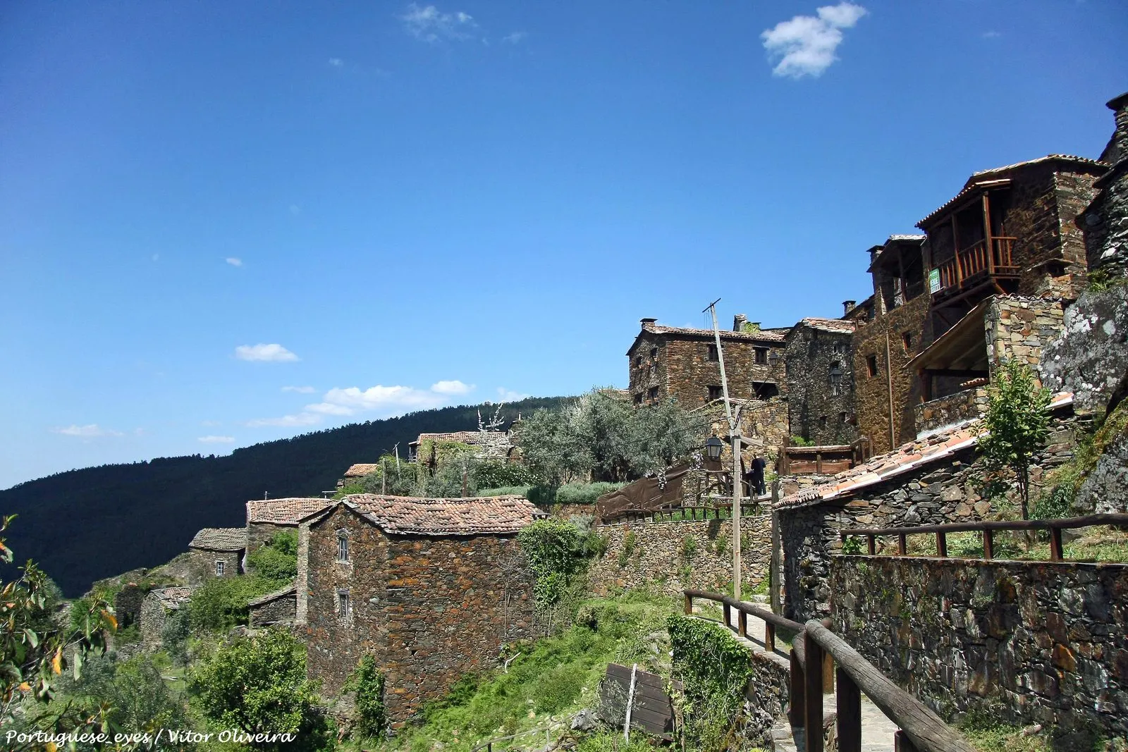
The Cabril Bridge, also called the Ponte Filipina (Philippine Bridge), crosses the Zêzere river in a narrow gorge between Pedrógão Pequeno (municipality of Sertã) and Pedrógão Grande. It is a three-arched granite bridge, classified as a National Monument. It forms part of the landscape of the Zêzere territory of the Aldeias do Xisto.
Which bridge this is
The Atlas of Classified Heritage registers it as «Ponte do Cabril» (NINV 3116), in the municipalities of Pedrógão Grande and Sertã, in the districts of Leiria and Castelo Branco. The record in Património Cultural is no. 70408. The entry gives access over the Zêzere river, and coordinates that match those on Wikidata (39.905366 N, 8.139354 W).
There is a naming detail that explains some confusion. The first classification decree, of 16 June 1910, calls it «Fonte do Cabril», an evident error. Decree No. 28/82 of 26 February 1982 clarified that the designation is Ponte do Cabril. That is why the Atlas and guides cite the 1982 decree, while the classification dates from 1910. A note for anyone consulting the Atlas: the hyperlink the service provides to this bridge’s entry points to the record of another property, the pillory of Pedrógão Grande; the correct entry is 70408.
What can be seen
According to the record, the bridge has three full-centred arches, the central one spanning 22 metres, which clears the riverbed. The other two support the level deck, which measures about 72 metres, is paved with a central spine, and has granite parapets with bollards. The stonework stands out in the cutwaters. The bridge originally stood about 30 metres above the riverbed, and it lies on the former road linking Pedrógão Grande and Pedrógão Pequeno.
Dating
The official entry indicates construction in the Philippine dynasty period, in the 16th or 17th century, replacing a Roman bridge that, according to local tradition, once stood nearby, «with no archaeological or documentary evidence» known to confirm it. The Xistopédia page of the Aldeias do Xisto network gives 1607-1610, but cites no sources; we therefore treat those dates as the network’s indication, not as data from the record. The name «Filipina» comes from the period when the Philips of Spain reigned over Portugal (1580-1640).
The dam and the river
The bridge lies between the Cabril dam and the new bridge, already within the backwater of the Bouçã reservoir, which gives it a strong landscape setting. The record notes that, depending on the water level, the piers may be submerged above the springing of the arches. Xistopédia states that, until the inauguration of the Cabril dam in 1954, it was the only link to Pedrógão Grande; EDP also gives 1954 as the year the Cabril power station began operating. This role as the sole crossing is the reading of the Aldeias do Xisto network and does not appear in the official entry.
Visiting
The bridge is near Pedrógão Pequeno. When consulted on 5 November 2026, we found no recent official information on access and the condition of the surface; please enquire with the municipalities of Pedrógão Grande and Sertã. For nearby villages, see Aldeias do Xisto do Zêzere; for the typology, the medieval bridges and the Roman bridges.
Photograph by Vitor Oliveira, 15 April 2023. Original on Wikimedia Commons, under CC BY-SA 2.0; resized and compressed for the web, without altering the composition.
Frequently asked questions
- Is Cabril Bridge a National Monument?
- Yes. It was classified by decree of 16 June 1910, under the name «Fonte do Cabril», and Decree No. 28/82 of 26 February 1982 clarified that the correct designation is Ponte do Cabril.
- When was the bridge built?
- The official record points to the Philippine period, 16th or 17th century, without documentary proof. The Aldeias do Xisto network gives 1607-1610, but its page cites no source.
- Which municipalities is it in?
- It links Pedrógão Pequeno, in the municipality of Sertã (Castelo Branco district), with Pedrógão Grande (Leiria district), over the Zêzere river.
- Why are the piers sometimes submerged?
- The record explains that the bridge lies in the backwater of the Bouçã reservoir, so, depending on the water level, the piers may be submerged above the springing of the arches.
Sources
- Património Cultural, I.P. — Ponte do Cabril (registo 70408, NINV 3116)
- Património Cultural, I.P. — Atlas do Património Classificado (NINV 3116)
- Diário da República — Decreto n.º 28/82, de 26 de fevereiro de 1982
- Diário do Governo n.º 136, de 23 de junho de 1910
- Aldeias do Xisto — Xistopédia: Ponte Filipina
- EDP — Central hidroelétrica do Cabril
- Wikidata — Ponte do Cabril (Q39713617)
Keep exploring
Heritage nearby
More places to discover from here. Approximate straight-line distances, within 50 km.