Monuments
Praça do Comércio (Commerce Square), Lisbon
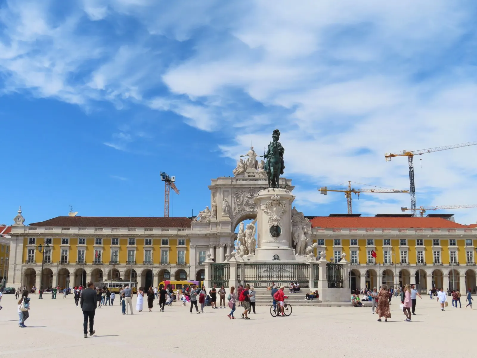
Praça do Comércio in Lisbon, ex-Terreiro do Paço, rebuilt after 1755: arcades, D. José's statue, Rua Augusta Arch. National Monument since 1910.
- Location
- Lisboa, Lisboa
- Built
- Reconstrução após 1755; arco concluído em 1861
- Style
- Urbanismo e arquitetura pombalinos
The Praça do Comércio, still known as the Terreiro do Paço, opens the Lisbon Lower Town onto the Tagus. It is a square of three identical wings, with arcades on the ground floor, open on its fourth side to the river. The national register classifies it as a National Monument and explains that, after the 1755 earthquake, it replaced the site of the former royal palace.
From Terreiro do Paço to a mercantile square
The historical note from the Património Cultural, I.P. recalls that, from the 16th century, the Terreiro do Paço housed the royal palace, which formed a complex with the Customs House, the India House, the Mint, the Arsenal and the Tagus Opera House, inaugurated months before the catastrophe.
Immediately after the quake, Sebastião de Carvalho e Melo, minister of King José I, took charge of measures to overcome the urban, social and economic problems. In 1756 the Casa do Risco das Obras Públicas was formed, with military engineers led by Manuel da Maia, among them Eugénio dos Santos de Carvalho and Carlos Mardel. Among the options studied, the most radical was chosen: levelling the lower zone and rebuilding the districts to a new plan, with harmony between the width of the streets and the height of the buildings. The plan, drawn by Eugénio dos Santos, laid out eight north–south streets between the Rossio and the Terreiro do Paço, crossed by nine east–west streets. The style that resulted is discussed under Pombaline style.
On the site of the square, a royal square in the manner of the French place royale was planned, open to the river. A decree of June 1759 already named it Praça do Comércio. It came to house the Commercial Exchange, and the buildings enclosing it were entrusted to the capital’s merchants, which made it, according to the register, the space of the new mercantile bourgeoisie protected by Pombal.
Arcades, statue and arch
The square is enclosed by three identical three-storey blocks. The ground floor has arcades with mezzanines; the middle floor, sash windows with iron balustrades; the top floor, entresols; a cornice crowns the whole. Each side wing ends in a corner pavilion, recreating the tower designed by Terzi for the Royal Palace, commissioned by Philip I in 1581.
At the centre stands the equestrian statue of King José I, by Machado de Castro, whose execution was only completed in 1775. At the far end, between Rua Augusta and the square, stands the triumphal arch. The structure follows the design of Eugénio dos Santos, but the slow progress of the works meant that the crowning was only executed in the second half of the 19th century, to a design by the architect Veríssimo José da Costa, and was completed in 1861, with a sculptural group by Antoine Calmels and Vítor Bastos. On outdoor sculpture in Portugal, see statuary and commemorative monuments.
Classification
The square is classified as a National Monument by the decree of 16 June 1910, published in the Diário do Governo no. 136, on 23 June 1910; the official designation is Praça do Comércio, with the alternative designation Antigo Terreiro do Paço. When consulted on 5 November 2026, the register did not indicate a fixed special protection zone. It showed a 2006 file for a joint ZEP and, in October 2011, the order returning the file for individual proposals.
The register also refers to the Café Martinho da Arcada, classified as an establishment in its entirety, to the Castelo de São Jorge and remains of its walls, and to Pombaline Lisbon. The latter is on Portugal’s Tentative List submitted to UNESCO; a tentative list gathers possible nominations, and the square is not a World Heritage Site.
Visiting
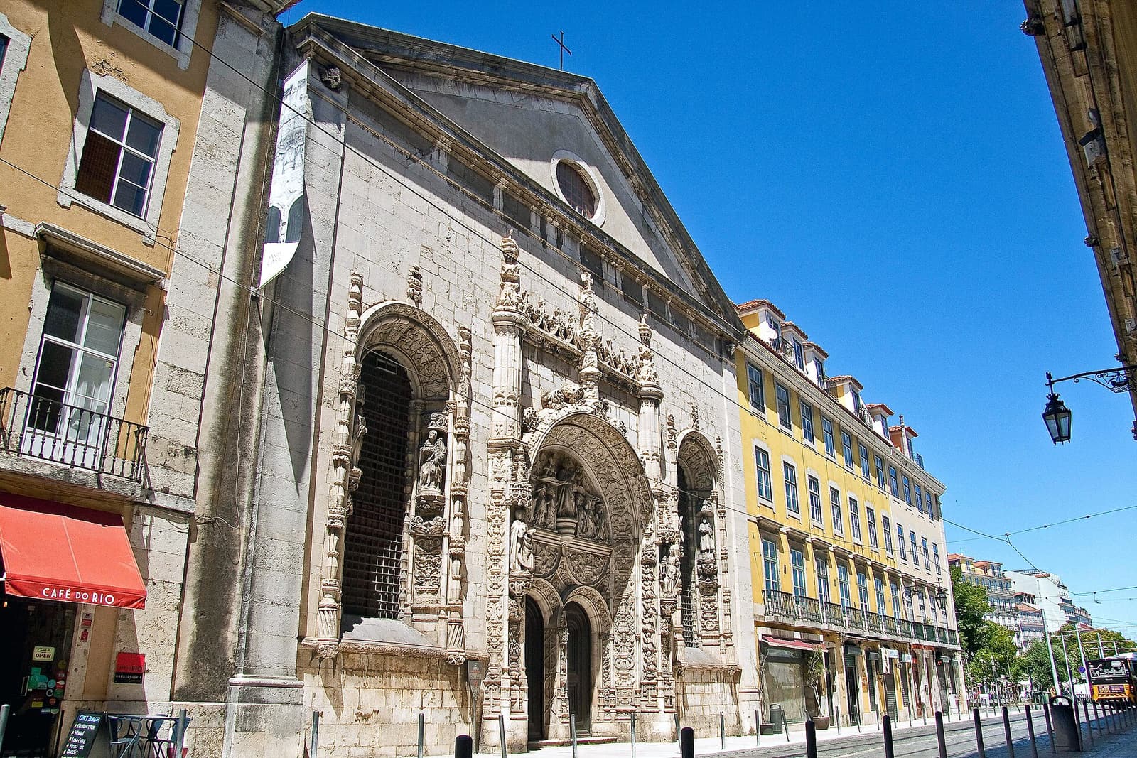
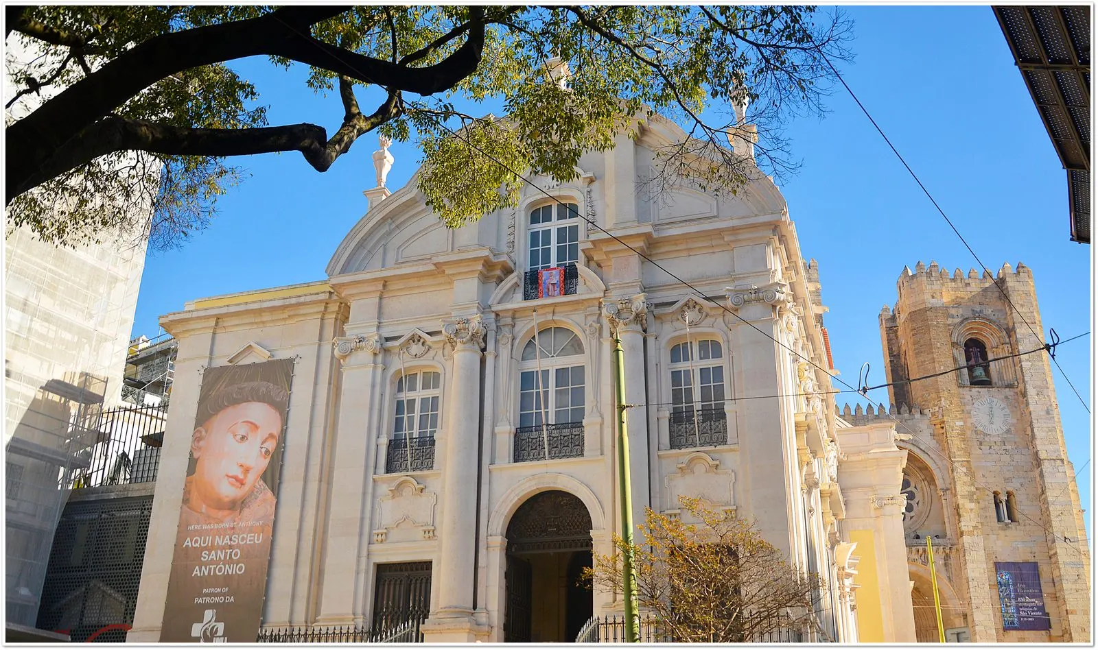
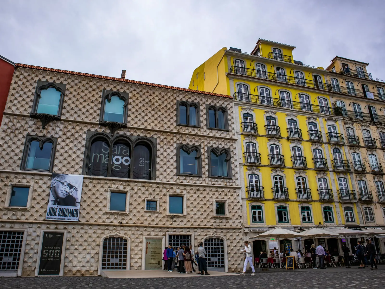
The square is a public space, and the arcades can be walked on foot. The register also documents the Cais das Colunas. Opening hours and accessibility of spaces within the wings, including establishments and cultural facilities, are set by the respective operators, and this page does not confirm them. Further east are the Casa dos Bicos and the Lisbon Cathedral.
Photograph by amanderson2, 25 April 2022. Original on Wikimedia Commons, under CC BY 2.0; resized and compressed for the web, without altering the composition.
Frequently asked questions
- Are Praça do Comércio and Terreiro do Paço the same place?
- Yes. The Terreiro do Paço was the square of the royal palace, which had stood there since the 16th century. After the 1755 earthquake it was replaced by a new royal square, which a decree of June 1759 already called Praça do Comércio.
- Who designed the square and the arch?
- The Cultural Heritage register attributes the plan of the new Lower Town to Eugénio dos Santos de Carvalho, a collaborator of Manuel da Maia, and the design of the arch to Eugénio dos Santos. The arch's crowning was executed later, to a design by Veríssimo José da Costa, and was completed in 1861.
- Who made the king's statue?
- The equestrian statue of King José I is by Machado de Castro. According to the register, the work was only completed in 1775.
- Is Praça do Comércio a World Heritage Site?
- No. It has been a National Monument since the decree of 16 June 1910. Pombaline Lisbon, of which the square is part, is on Portugal's Tentative List submitted to UNESCO, but a tentative list is not an inscription.
Sources
Keep exploring
Heritage nearby
More places to discover from here. Approximate straight-line distances, within 50 km.