Monuments
Noudar Castle
Noudar Castle, in Barrancos: a border fortress of the Order of Avis, a National Monument since 1910, now within the Noudar Nature Park, managed by EDIA.
- Location
- Barrancos, Beja
- Built
- c. 1303–1308
The Castelo de Noudar (Noudar Castle) rises above the confluence of the Ardila river and the Múrtega stream, northwest of Barrancos, at the far edge of the Alentejo frontier with Spain. It is a border fortress: it was Castilian before it was Portuguese, changed hands several times, and was eventually abandoned. Because it was never modernised with bastions, it retains an unusually clear medieval appearance, within a vast cork-oak estate.
Before the Gothic castle
The national register of Cultural Heritage, I.P. challenges the idea that Noudar’s history begins with the Reconquest. Drawing on the excavations of Miguel Rego, it points to a tower or small castle from the 10th or 11th centuries, controlling the route to Beja. No secure remains of this initial stronghold are yet known, but part of the southern wall is of rammed earth (taipa), later faced with masonry, which indicates an earlier Islamic fortification, probably from the 12th century and of Almohad date. The Christian works likely reused this layout, at least in part.
From the crown of Castile to the Order of Avis
In 1253, Noudar received a charter from Alfonso X of Castile, as did Moura and Serpa. According to the national register, the town passed to Portuguese possession under the peace treaty concluded in 1295 between King Dinis and Ferdinand IV. In December 1295, Dinis granted it a charter. To attract settlers to a border territory, he established there a couto de homiziados (a sanctuary for fugitives): people pursued by the law could live in Noudar as long as they did not leave its territory.
About eight years later, the king handed the town over to the Order of Avis, obliging it to build a castle with a sound wall and a strong alcazar. Two inscriptions document the work. The first, dated 1 April 1308, commemorates the founding of the castle and the settlement of the town by Master D. Lourenço Afonso. The second, which scholars also attribute to 1308, refers to the commander Aires Afonso and the construction of the keep. The Noudar Nature Park summarises this phase by stating that the castle was completed in 1307. For dating purposes, the safest course is to place the present fortress in the first years of the 14th century.
What can be seen in the enclosure
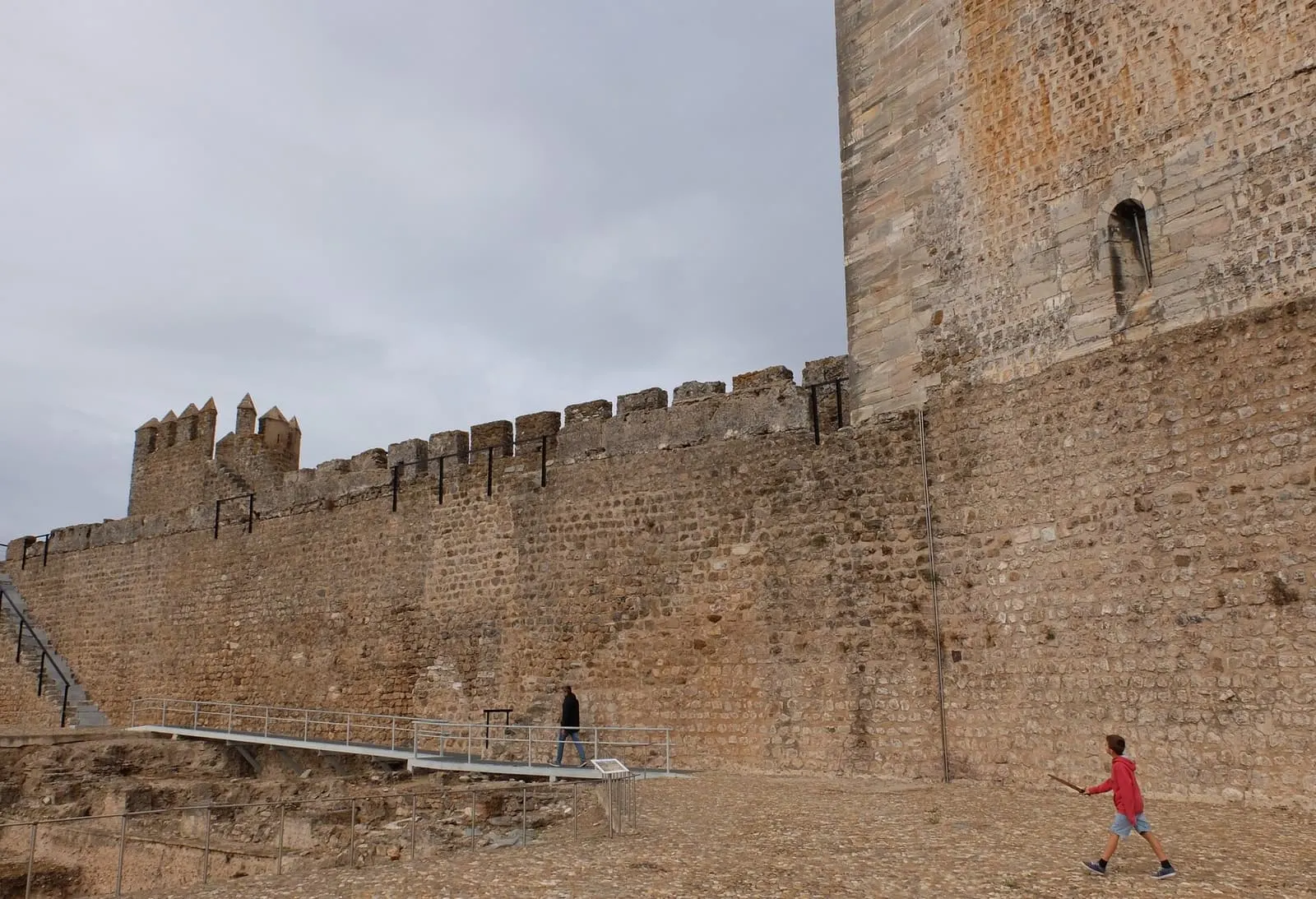
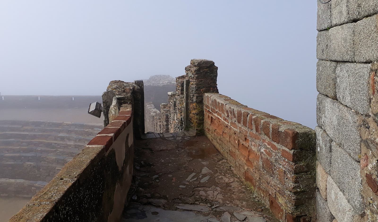
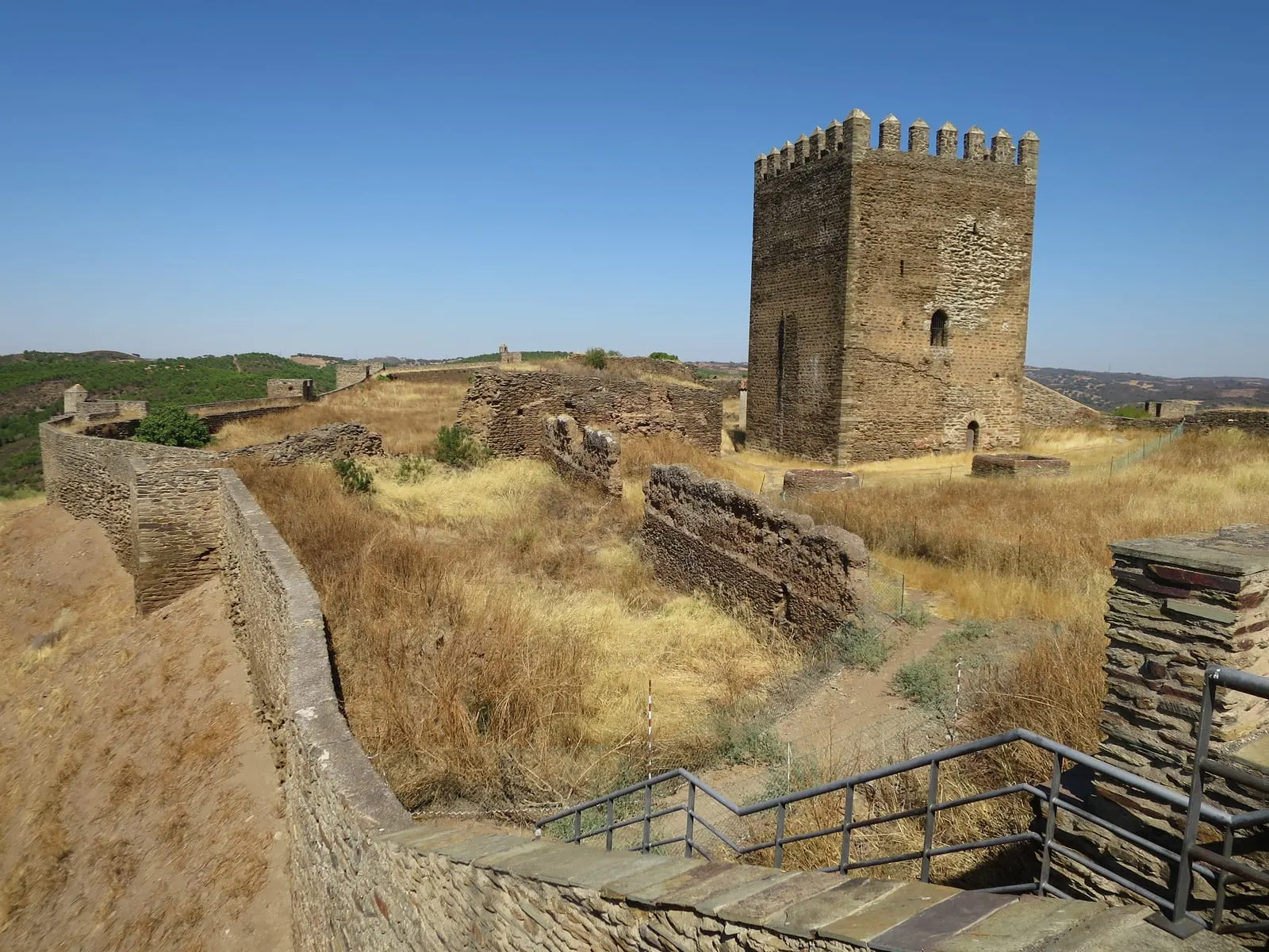
The Gothic structure is divided into two spaces. The alcáçova (citadel), in the southern sector, has an irregular quadrangular plan and is dominated by the keep, about 18 metres tall, with an interior cistern and two doors at different levels. The town wall, much larger, has ten towers attached to it; the principal one protects the town gate. The park’s interpretive panel identifies the Barrancos Gate, the Moura Gate, a postern, the cistern, wells, the governor’s house and the church of Nossa Senhora do Desterro, successor to a temple dedicated to Nossa Senhora de Entre Ambas as Águas.
In 1509, Duarte de Armas drew Noudar for the Livro das Fortalezas (Book of Fortresses). According to the national register, the drawings show no major changes, apart from barbicans that would date from the 15th century. The stronghold was again under Spanish control in 1644 and in 1707, but it did not receive bastion works like those at Elvas. This absence of modernisation explains the medieval character of the complex. Comparison with the neighbouring castles of Moura and Serpa, also linked to the Guadiana frontier, helps clarify the difference.
Abandonment and recovery
Barrancos, which developed outside the walls from the 14th century, gradually drew population away from the municipal territory; the national register describes a progressive abandonment of the castle from the 18th century. The park notes that, in 1836, the municipality of Noudar ceased to exist. In 1893, the castle was sold to a private owner, João Barroso Domingues, a landowner from Barrancos. The national register states that the municipality acquired the complex in 1997, paving the way for systematic archaeological research. That research has already revealed Islamic occupation layers.
The castle is classified as a National Monument by Decree of 16 June 1910, published in the Diário do Governo no. 136, of 23 June 1910. The register also records a non aedificandi zone. It is not part of any UNESCO inscription.
The Noudar Nature Park
The castle lies within the Herdade da Coitadinha (Coitadinha estate), covering about 1,000 hectares. EDIA (Empresa de Desenvolvimento e Infraestruturas de Alqueva, the Alqueva Development and Infrastructure Company) acquired the estate in 1997, as a compensation measure for the loss of habitats caused by the Alqueva dam. EDIA manages the Noudar Nature Park there, which combines cork-oak woodland conservation, agriculture, accommodation and interpretive activities. The estate also holds another memory: in September 1936, it hosted a camp for Spanish republican refugees, protected by Portuguese soldiers.
Planning the visit
Access is through the park, from Barrancos; the path to the castle crosses holm-oak woodland. When consulted on 5 November 2026, the park’s page indicated that the castle closes on Mondays. The contacts page indicated that the park is closed to the public on 24 and 25 December and between 7 and 18 January for maintenance. Opening hours were not published in text form. Before going, confirm opening times, access conditions and guided visits on the park’s website, by telephone at +351 285 950 000 or by email at [email protected].
The castle’s panel also refers to the Barrancos Municipal Museum of Archaeology and Ethnography, where the visit can be completed. In Barrancos, the Bull Festival reveals another face of this border community. To compare Noudar with other fortresses, continue through the castles of Portugal.
Photograph by Senhormario, 20 September 2016. Original on Wikimedia Commons, under CC BY-SA 4.0; resized and compressed for the web, without altering the composition.
Frequently asked questions
- When was Noudar Castle built?
- The present fortress is the result of works promoted by the Order of Avis in the early 14th century. King Dinis granted a charter to Noudar in December 1295 and handed the town over to the Order about eight years later; two inscriptions from 1308 record the founding of the castle and the construction of the keep.
- Is Noudar Castle classified?
- Yes. The national register of Cultural Heritage, I.P. identifies it as a National Monument, by Decree of 16 June 1910, published in the Diário do Governo no. 136, of 23 June 1910.
- How do I get to the castle?
- The castle lies northwest of Barrancos, on the Herdade da Coitadinha, within the Noudar Nature Park, owned by EDIA. The park's website lists the castle as closed on Mondays; confirm opening times and access with the park before going.
- Why did Noudar change hands several times?
- It was a border stronghold. It received a charter from Alfonso X of Castile in 1253 and only passed to Portugal through the 1295 treaty; according to the national register, it was again under Spanish control in 1644 and in 1707.
Sources
- Património Cultural, I.P. — Castelo de Noudar (70654)
- Património Cultural, I.P. — Atlas do Património Classificado, Castelo de Noudar (NINV 2111)
- Diário do Governo — Decreto de 16 de junho de 1910 (n.º 136, 23-06-1910)
- Parque de Natureza de Noudar — Castelo de Noudar
- Parque de Natureza de Noudar — Apresentação
- Parque de Natureza de Noudar — Herdade da Coitadinha
- Parque de Natureza de Noudar — Contactos
- Parque de Natureza de Noudar — Painel interpretativo do castelo (PDF)
- Wikidata — Castelo de Noudar (Q4993721)
Keep exploring
Heritage nearby
More places to discover from here. Approximate straight-line distances, within 50 km.